
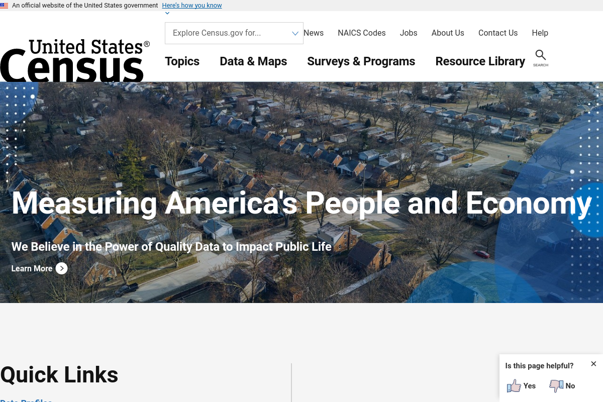
What Is Census.gov Used For: Features, Reviews & Alternatives
US Census Bureau data and information.
Editorially updated Oct 25, 2025

The overview
What Census.gov is for
1Core Capabilities
- Searchable federal datasets covering decennial census counts, American Community Survey tables, economic statistics, and housing data
- Geography tools and reference material for states, counties, census tracts, block groups, places, and other reporting boundaries
- QuickFacts pages that compile common indicators for fast jurisdiction checks before deeper table work
- Technical documentation, questionnaires, code lists, and methodology notes that help verify what a figure actually represents
- Download options and data access tools for pulling tables, comparing areas, and supporting reports with source-backed figures
Who it helps
Useful ways to use Census.gov
A practical path
Define the jurisdiction first
Identify the exact place type your task requires: state, county, city, tract, block group, or another Census geography. Many reporting mistakes come from citing the wrong boundary.
External signals
Reviews & reputation
Aggregated review score
Census.gov performs best when teams prioritize clear task execution and operational repeatability and keep ownership explicit around repeatable team usage.
Quick answers
Frequently asked questions
1Who is Census.gov best for?⌄
It fits users who need official U.S. demographic, housing, or economic figures tied to a defined geography, especially for grants, planning, reporting, and background research.
2Is this where I get a birth certificate, deed, or court filing?⌄
No. Those records are usually held by state, county, or municipal offices. Census.gov provides statistical and geographic records, not most person-level vital or court documents.
3How do I know whether to use decennial census data or ACS data?⌄
Use decennial census products when you need official counts. Use ACS when you need characteristics such as income, language, commuting, or education, with the understanding that ACS values are survey-based estimates.
4What is a good fit question before I start?⌄
Ask: do I need an official federal number for a specific U.S. geography that can support a form, report, funding case, or policy decision? If yes, this site is likely a strong source.
5What usage boundary should I check first?⌄
Ask whether your task depends on current local filings, parcel ownership, permits, licensing status, or state-administered records. If it does, Census.gov may provide context, but not the controlling document.
Keep exploring
