
URLs.ai
Ventusky icon
WebsiteInformationData Analysis

What Is Ventusky Used For: Features, Reviews & Alternatives

Meteorological data map visualization.

Editorially updated Oct 25, 2025

Screenshot of Ventusky

The overview

What Ventusky is for

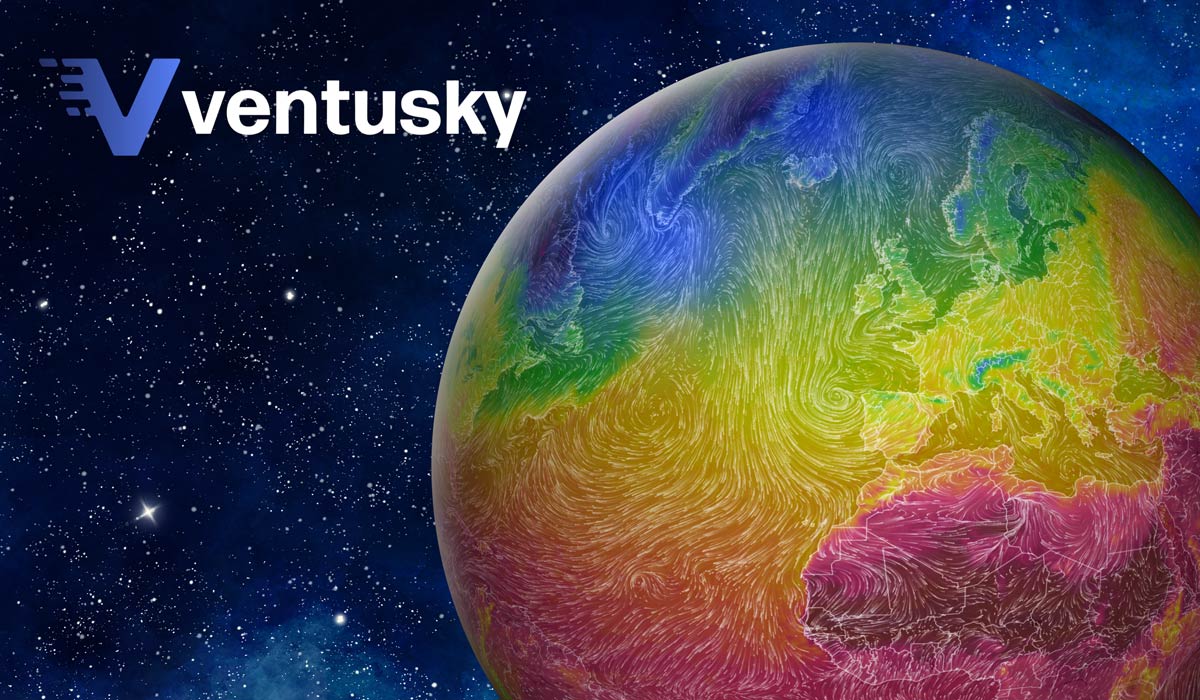
Ventusky is built for people who want to read weather as a map, not a paragraph. It suits users checking wind shifts, rain bands, cloud cover, pressure patterns, and temperature changes across a region, whether they are planning a drive, a flight, a coastal trip, or just watching a storm line move. Judged through a directory lens, its value comes from how much weather detail it exposes at once, how quickly you can jump to the exact layer or location you need, and whether the map makes short-term changes easy to compare. It is especially useful when the question is not just "what is the weather" but "where is it changing next."
Key features

1Core Capabilities

  • Layered weather maps for wind, rain, temperature, cloud cover, and air pressure
  • Location search and map navigation for checking a specific city, coast, or route
  • Time-based forecast view to compare conditions across upcoming hours or days
  • Visual weather overlays that make fronts, storm movement, and pressure systems easier to spot
  • Browser-based access for quick checks without installing a desktop app

Who it helps

Useful ways to use Ventusky

01
Check the next few hours
Use the forecast map to see whether rain, wind, or fog is likely to affect a morning drive or transit window.
02
Pick a safer time slot
Compare wind, precipitation, and cloud cover before scheduling hiking, cycling, boating, or field work.
03
Watch weather movement
Track changing pressure and wind patterns along a shoreline or marina area to time short outings more carefully.
04
Study the pattern, not just the forecast
Use the map layers to follow fronts, storm structure, and regional differences that are easy to miss in plain text forecasts.

A practical path

How to use Ventusky

Open the map at your area

Search for a city, region, or coastline and center the map on the place you actually need to check.

External signals

Reviews & reputation

AI aggregated
4.1/ 5

Aggregated review score

This pass shows Ventusky fitting strongest workflows where workflow completion quality is measurable and maintenance overhead and process drift controls are documented.

Quick answers

Frequently asked questions

1Is Ventusky better for regional weather than hyperlocal street-level detail?

Yes. It is most useful for understanding broader weather patterns and nearby changes across a map, rather than replacing a neighborhood-level sensor reading.

2Can it help with trip planning?

It can help you choose safer timing by showing wind, rain, cloud, and pressure changes along a route or destination area.

3Does it show more than a basic forecast?

It focuses on visual weather layers, so you can inspect how conditions are distributed across space instead of reading a single summary line.

4How should I treat the forecast timing?

Use it as a planning tool, not a final authority. Update cadence and data timing can vary by layer, so check the latest view before you leave.

Keep exploring

More products

Browse all websites