
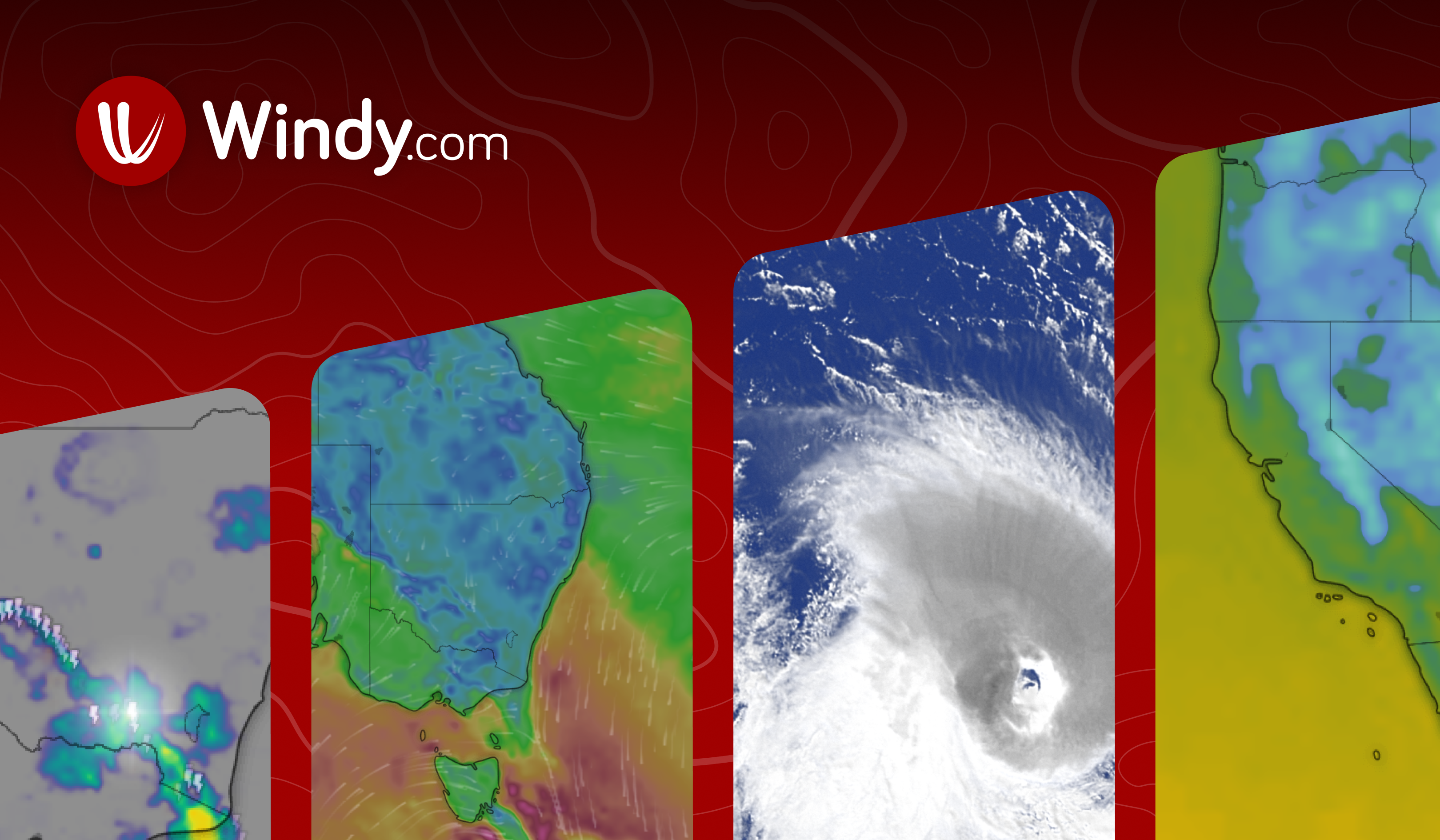
Windy is a practical choice for users who need weather decisions tied to geography, not abstract reports. If your problem is locating a wind shear pocket over a launch area, checking rain bands before routeing a drone mission, or comparing coastal conditions for a weekend race, Windy’s interactive map approach is the core value. It gives you a single spatial interface where wind direction, precipitation intensity, pressure systems, and cloud fields are visible together, which is far more actionable than scanning multiple disconnected pages. The product supports quick “is-it-safe-now” checks as well as pre-check windows when conditions are changing by the hour.
For your Information-category fit test, prioritize whether it gives enough map-level depth where you work, how quickly you can zoom to the exact point, and whether you can compare live data with recent observations from nearby regions. Windy is strongest when the selected model layers cover your area with acceptable refresh rates, and when the archive/history options are sufficient to validate if an anomaly is recurring or new. Because cadence and historical retention vary by weather layer and provider, confirm on the map how often data updates for your route or site before treating any one visualization as authoritative.


